
Mystery in the skies: Who photographed southern Israel in February 1947?
The collection of Mandatory-era aerial photographs at the Younes and Soraya Nazarian Library offers a rare glimpse of the country in the final years of the British Mandate. Most of the photographs are familiar and attributed to the Survey of Palestine (SP), the British authority responsible for mapping the region.
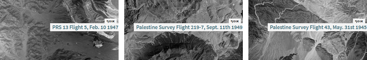
During the scanning of the collection, however, a surprising discovery emerged: some of the photographs bear the initials PRS rather than SP, as expected. These images were taken in February 1947, just months before the end of the Mandate, and most focus on the Arava and Negev regions, which were then sparsely populated.
We initially wondered whether they might have been taken by American units—specifically, the Photographic Reconnaissance Squadron—but those squadrons operated in the Land of Israel only in 1946. Another hypothesis was that the photographs were taken by the Haganah, but Haganah aerial images were shot from different angles, had distinct visual characteristics, and typically carried Hebrew captions.
Ultimately, it appears that these are indeed British photographs, though not produced as part of the topographic mapping project. By 1947, the British had already completed their mapping efforts, and it is possible that PRS stands for Palestine Resource Survey—a natural-resource survey, likely the last conducted before the British left the country.
Collection of the Month